From photos to 3D
Photogrammetry
reliable
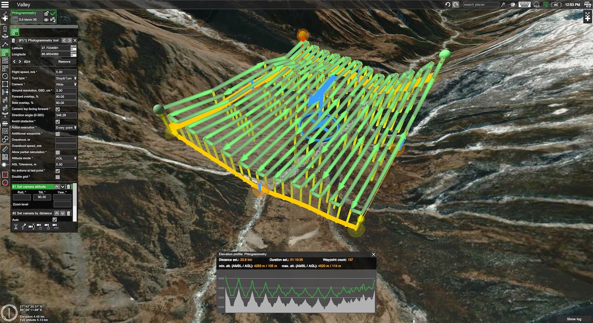
Survey from the ground or from above through drone and flight missions
Affordable
No risk of damage, indirect survey technique
High quality TEXTURE
Using full frame cameras and shooting in RAW format

Drone survey

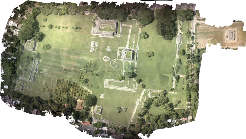
Orto photo

CGI
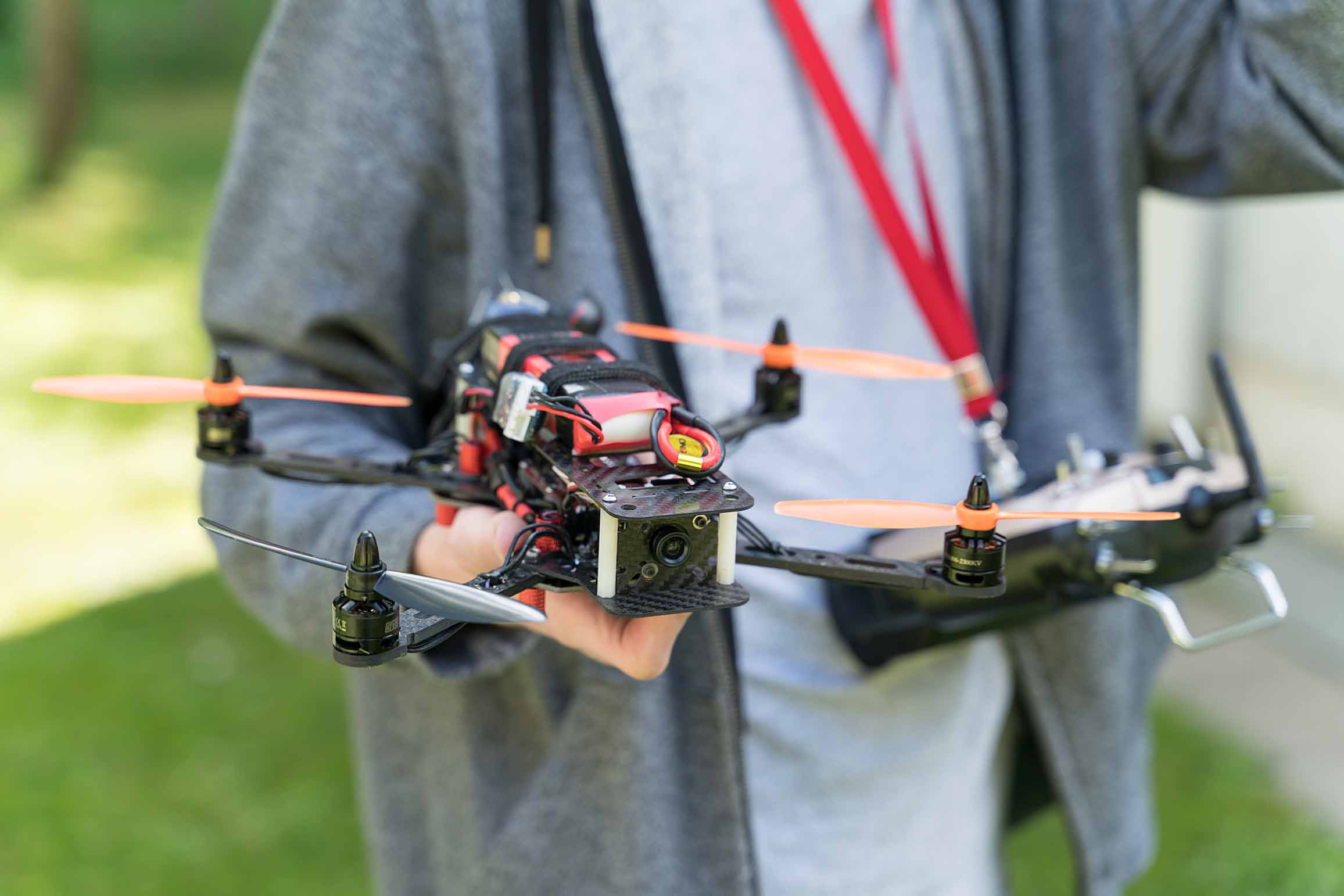
Quadcopter and FIXED WING SAPR
Aerophotogrammetry
Aerial photogrammetry is a specific application of photogrammetry that involves the acquisition of aerial images from generally remotely piloted vehicles in order to generate three-dimensional models of terrain, cities, natural environments and more.
Aerial photogrammetry is particularly useful when large, detailed coverage of an area is needed and when precise 3D information is essential. The availability of drones has made aerophotogrammetry more accessible and affordable, allowing a wide range of industries to benefit from this technique for collecting accurate spatial data.
