High precision measurements
Topography
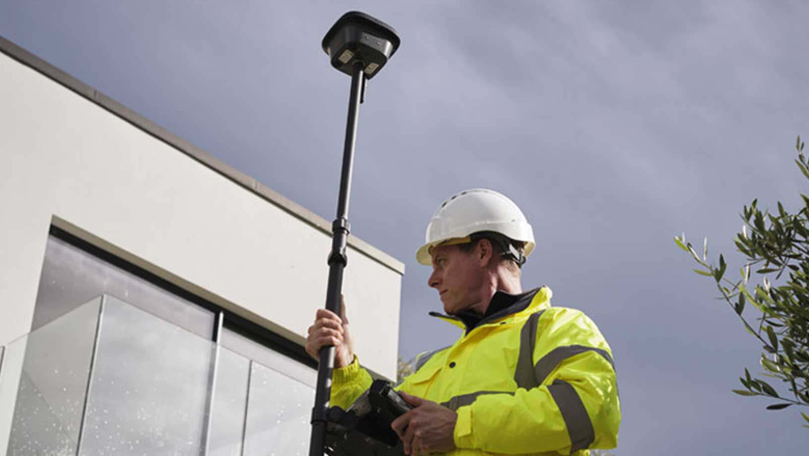
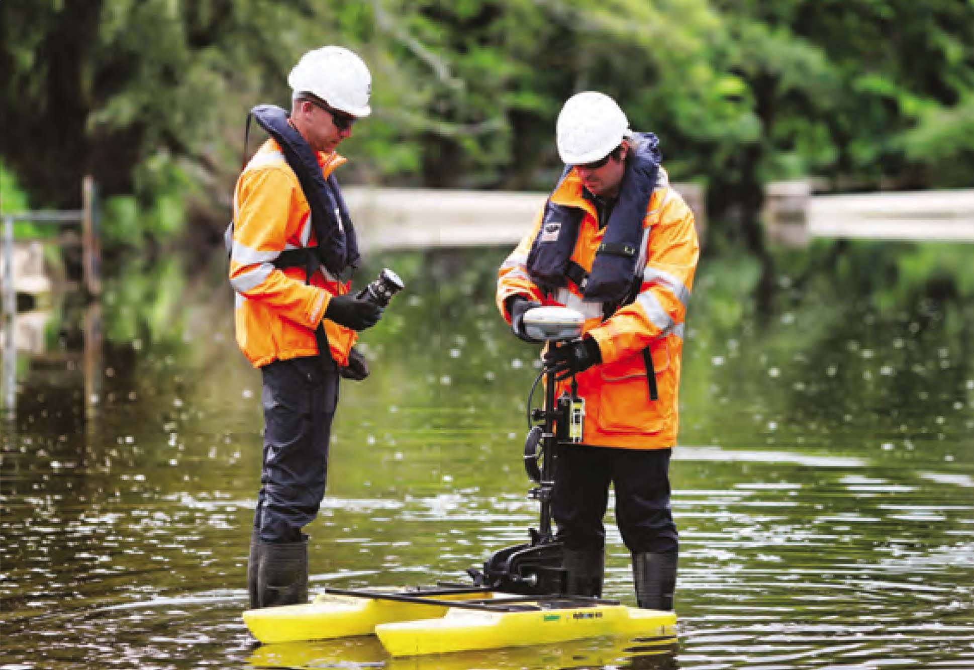
The topographic or cadastral survey is the measurement of the precise position (coordinates) of a point on the earth’s surface. Its objective is to recover and collect information useful for the subsequent creation of a cartographic representation.
Applications:
Archaeological positioning
monitoring hydrogeological risk
Mapping and survey of landslides
Mapping of landfill areas
Quarry mapping and survey
Inspection and study of the work areas
Risk analysis
Cadastral positioning
Road surveys
Monitoring agricultural areas

GPS RTK survey

Monitoring and tracking

Drone photogrammetry

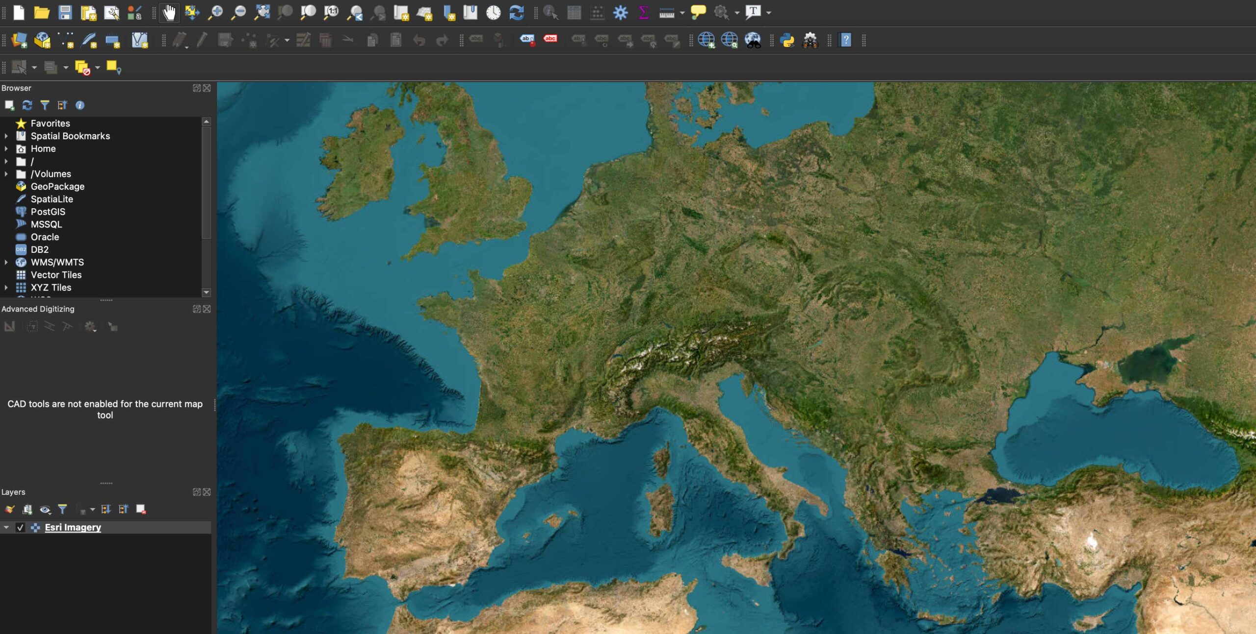
QGIS | ARCGIS
GIS
We develop geographic information systems (GIS) to support the design of cartographic elaborations and complex spatial analyses.
We can manage data of various kinds that are geo-referenced: the acquired data must be linked to geographical coordinates validated in a known reference system.
Through specific software, we import, record, analyze and return information deriving from stored geographical data.